FIRENZE 1584 · AGOSTINO MANCA
The Buonsignori map
Nova pulcherrimae civitatis Florentiae topographia accuratissime delineata
A view of Florence, thousands of details. This project began with a wish to examine the city drawn by Stefano Buonsignori and make its visual richness more immediately accessible.
Explore Florence 1584 ↗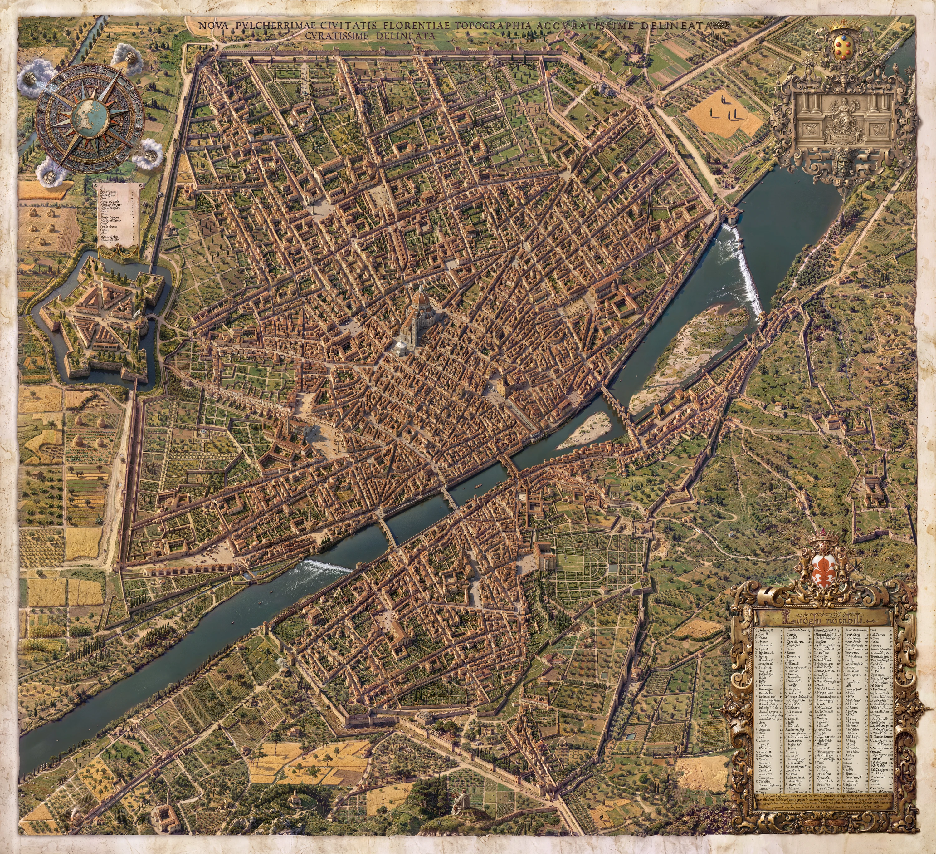
A city within a map
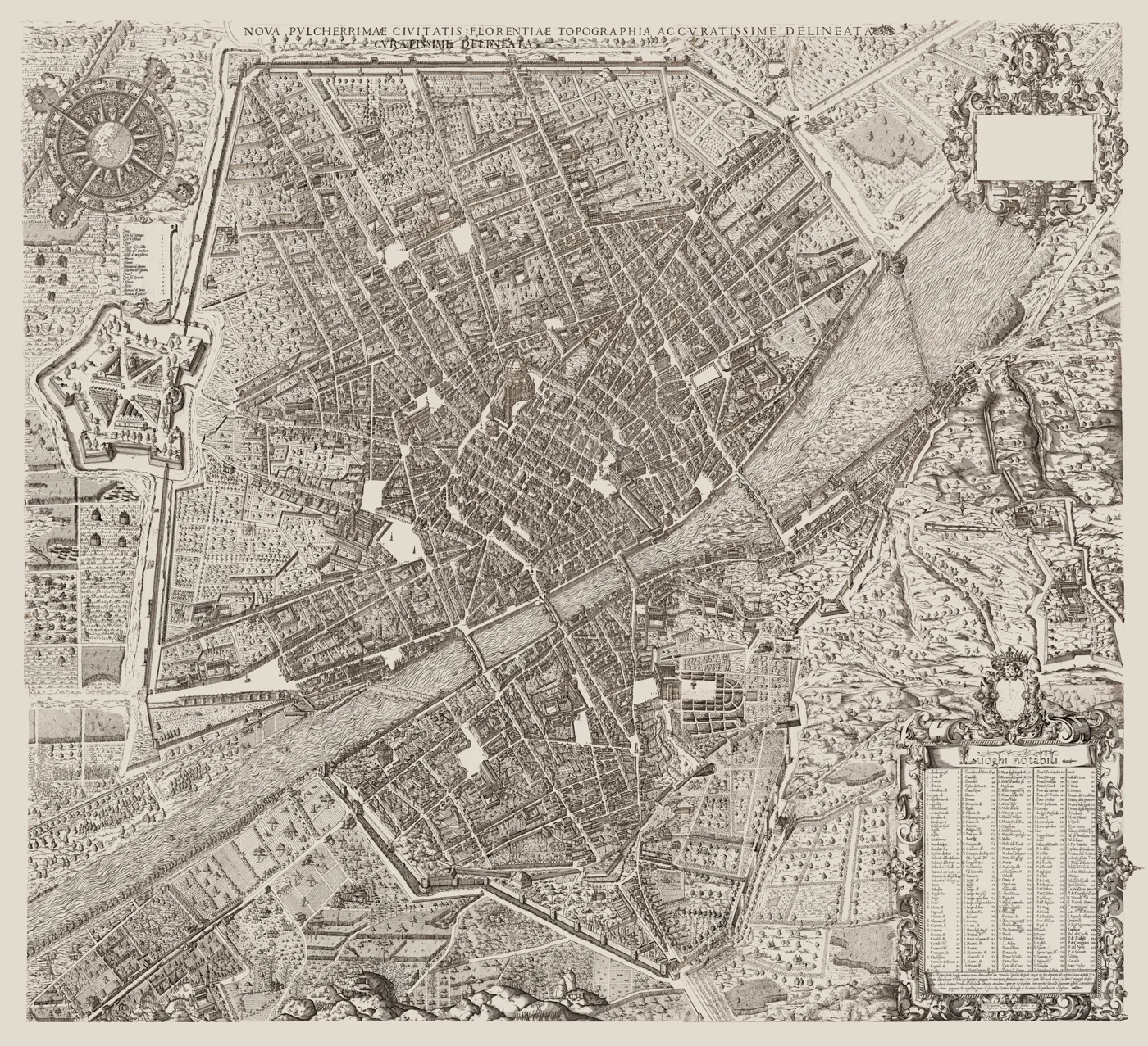
Drawn by Stefano Buonsignori and etched by Bonaventura Billocardi, the map was published in 1584. Its elevated view brings together monuments, streets, walls, gardens and the countryside in a single depiction of Florence.
Three versions, a continuous comparison
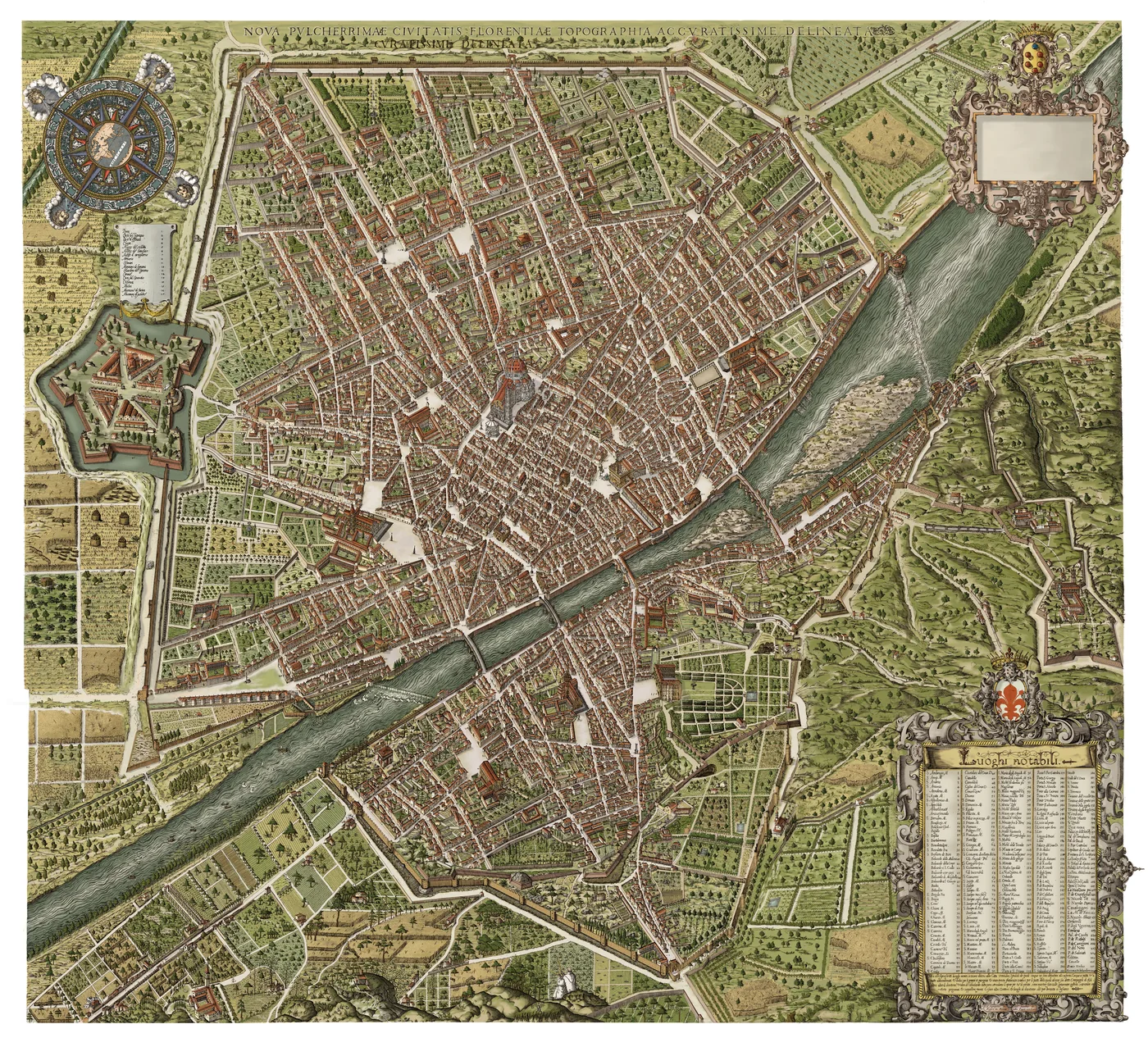
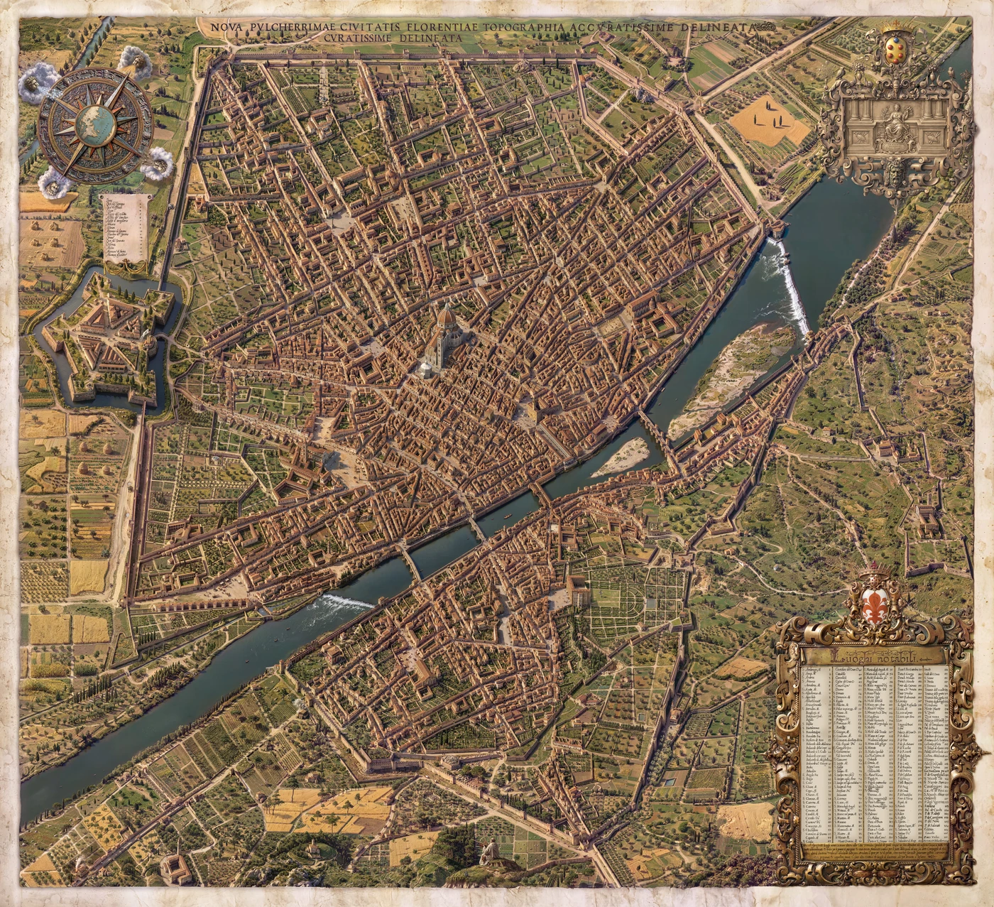
The Harvard Map Collection scan is the starting point. Digital restoration restores visual continuity; the hand-coloured version was developed building by building. The photorealistic reconstruction follows the drawing, informed by architectural research and manual corrections.
Fidelity to the map’s lines and historical plausibility are two considerations that must be brought into dialogue. Reconstruction choices remain interpretations: comparison with the engraving makes both the source and my intervention visible.
How to explore Florence 1584
Open the map from the main page, zoom into details and move through the city. Use the dissolve control to move between versions, or compare two images side by side. On a phone, use your fingers to zoom and pan.
Explore Florence 1584 ↗Sources and further reading
Harvard Map Collection, Harvard Library. Source of the reference scan.
Do you have another place in mind?
This approach can be a starting point for a new reconstruction, an editorial image or a heritage interpretation project.
Commissions ↗